Mapping Bird Migrations From radar data to silver gelatin artworks
My interest in mapping bird migrations is inspired from a decade long exploration in the travels, journaling and artworks of John James Audubon, culminating in my book, A Country No More: Rediscovering the Landscapes of John James Audubon (Thompson,2021).
In the book I document specific ecosystems along the Central, Mississippi and Atlantic Flyways where the nineteenth-century American naturalist observed, wrote about and painted. Audubon’s original (and controversial) field notes are the narrative arc in my book. While I was in the field, the big question I had was, “Where are the birds?” Now that I understand how and when agriculture and industrialization altered the ecosystems that Audubon visited from 1785-1851, I want to further this exploration and continue to take it to new levels.
Dr. Horton is the lead biologist at the AeroLab. He and I have found an intersection of research interests. We have the idea for a collaborative project in which we identify five ecosystems where we will collect and curate real-time and past radar data, that I will transform from radar video clips into silver gelatin media. The goal is to produce beautiful photographs of the existing flyways for exhibition. My new work will also support the visionary efforts of many others who are working in collaboration with private, State and Federal agencies, and Tribal governments in re-wilding key areas to recover the ecosystems that support critical bird migrations.
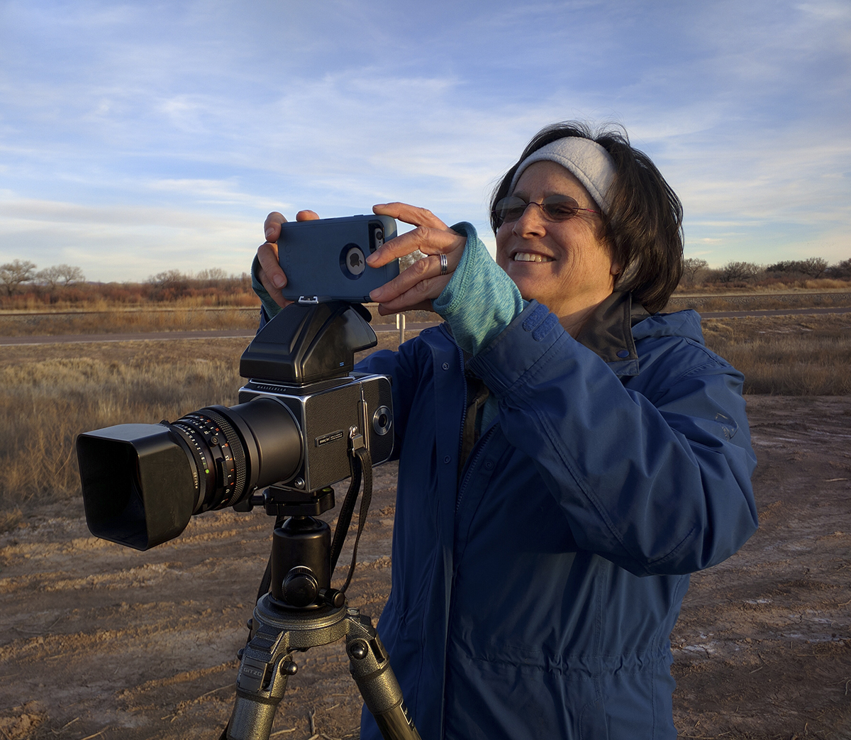
Figuring out how to successfully transform radar data into silver gelatin artwork will require hours of testing. Beginning with my film-based cameras, I will need to test exposure settings with various films, (infrared, ortho-litho, and traditional black and white) to see how color and contrast is transferred on to photographic paper.
My work takes place at the intersection of the arts, environmental justice and habitat recovery (see links to video eco-conversations). The specific sites that are the subjects of my rewilding radar mapping inquiry, are all located near toxic industrial waste sites along the margins of largest river systems in the United States. The farmland soil that is near these mixed-use sites, do not grow food for humans or animals because it is too toxic. Rather farmlands grow biofuels that aid in the transport of cars and trucks.